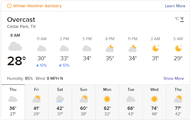
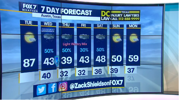
Cold comes in at dinner time, sticks around 5 days.
Models are wavering but most of them stay above freezing daytimes. This could change. One model has us in the 40's during the days, another 10 degrees colder (none yet say below freezing daytime, and I doubt it'll be, but we'll see by tonight). <coin flip> but we should know by tonight. Cold air does have currents and where the coldest drops isn't always even.
Nighttimes won't actually be that bitter due to cloud cover most of this event. But high 20's for sure, maybe 5-6 hours per day of freezing, above by 11 a.m. or so.
Rain should be mostly rain. Best chance of light icing, mostly N and W of town, into early Thurs. morning. Should be rain, and light, around that in ATX and S and E, but yeah, could see a run of sleet or light brief snowflakes. Highly doubt freezing rain after 2 80°+ days which have made the ground pretty warm.
"Worst" icing if at all N and W of town, and that's right now not much (< .10").
This shouldn't really be a "winter storm" of any proportions (NWS has yet to even issue an advisory, never mind a watch). I would just see it as a cold spell with some very light rain/sleet/f.r. if any.
Won't really be back as this isn't up to the same level as our last 2 freezing events, unless cold is pushed colder and rain rainy-er.


